As we have mentioned several times before, from north to south there are no less than 18 tourist routes. The initiative is run by the Public Roads Administration, which periodically appoints:
"Road sections that run through landscapes with unique natural qualities, along coasts and fjords, mountains or waterfalls. The routes should be a good alternative to the main roads and the journey itself should be a good experience."
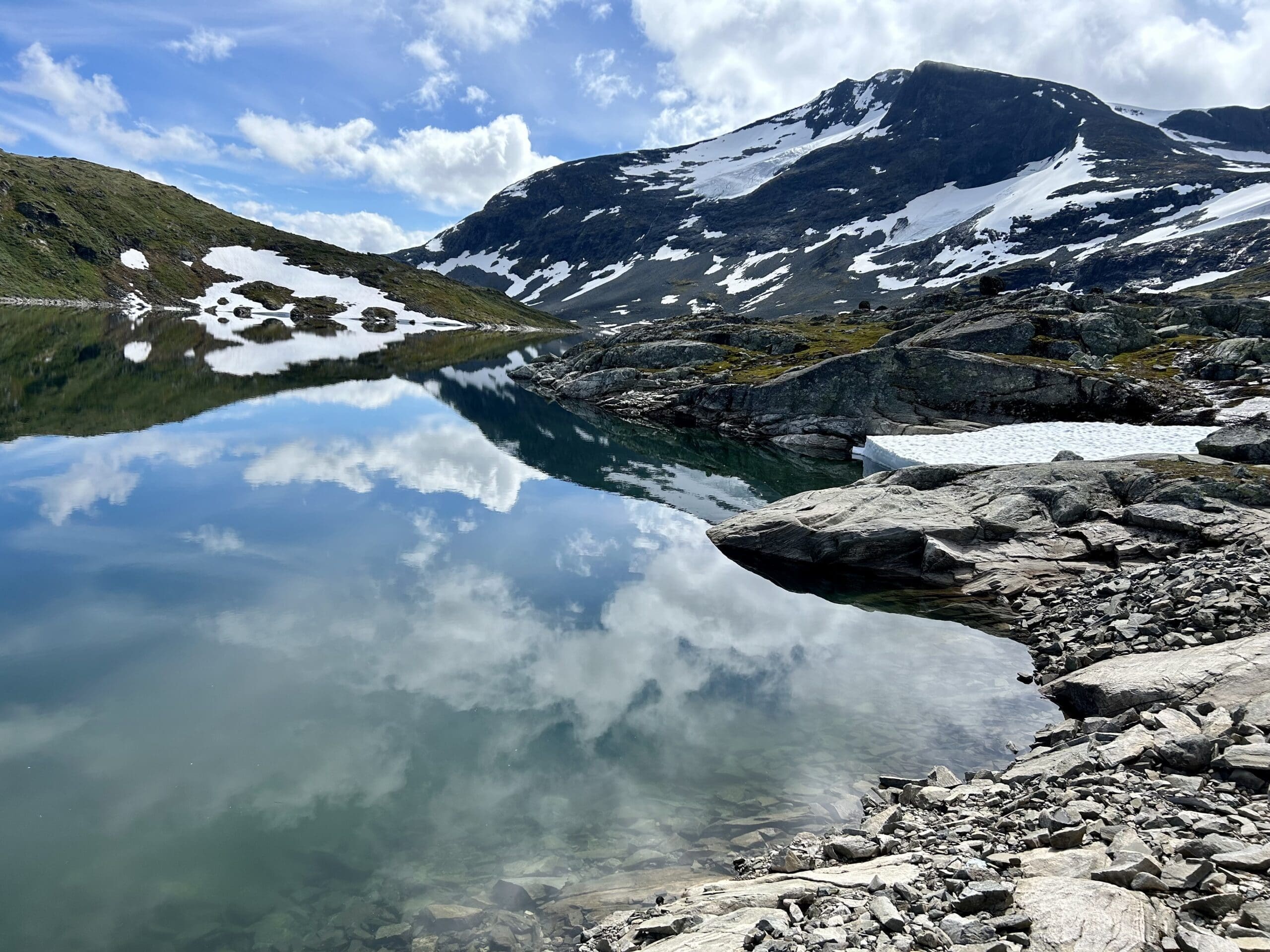
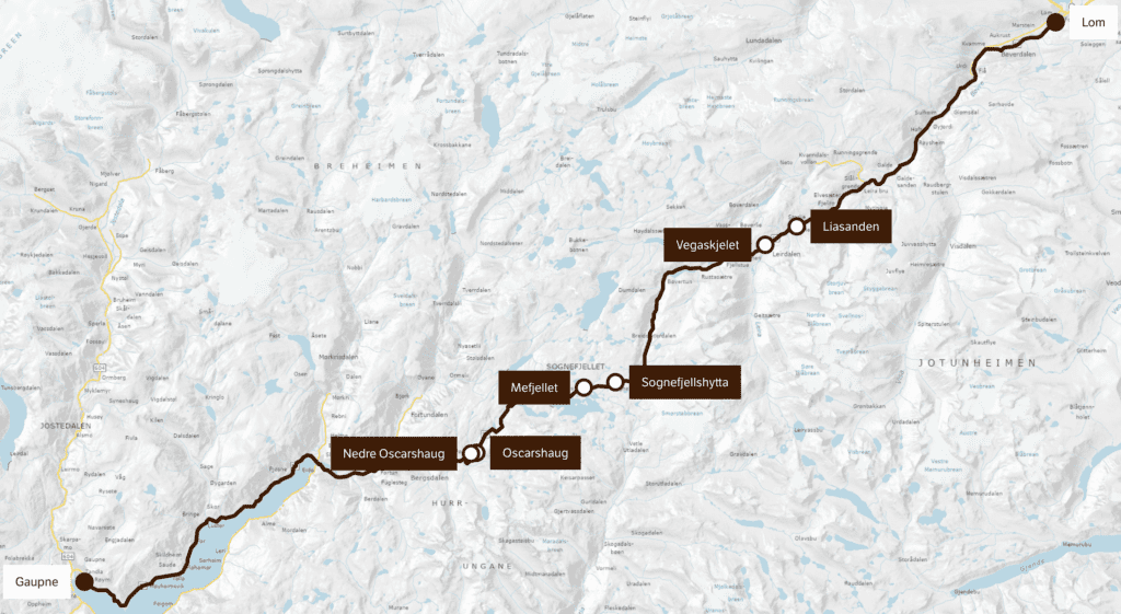
We drove on many of them during our trip and although the most famous ones like those via the Atlantic Road or Trollstigen/Geiranger are spectacular, we were still most impressed by Sognefjell. It may not have cruise ships, architect-designed picnic areas or souvenir shops in every bush, but they make up for all that with an absolutely breathtaking and unspoilt nature that really takes your breath away. Add to this the fact that on one side you have a view of the many peaks of Jotunheimen and on the other the lush plains of Breheimen.
Here you can read about two of the other tourist routes, the one over The Atlantic Road and Geiranger.
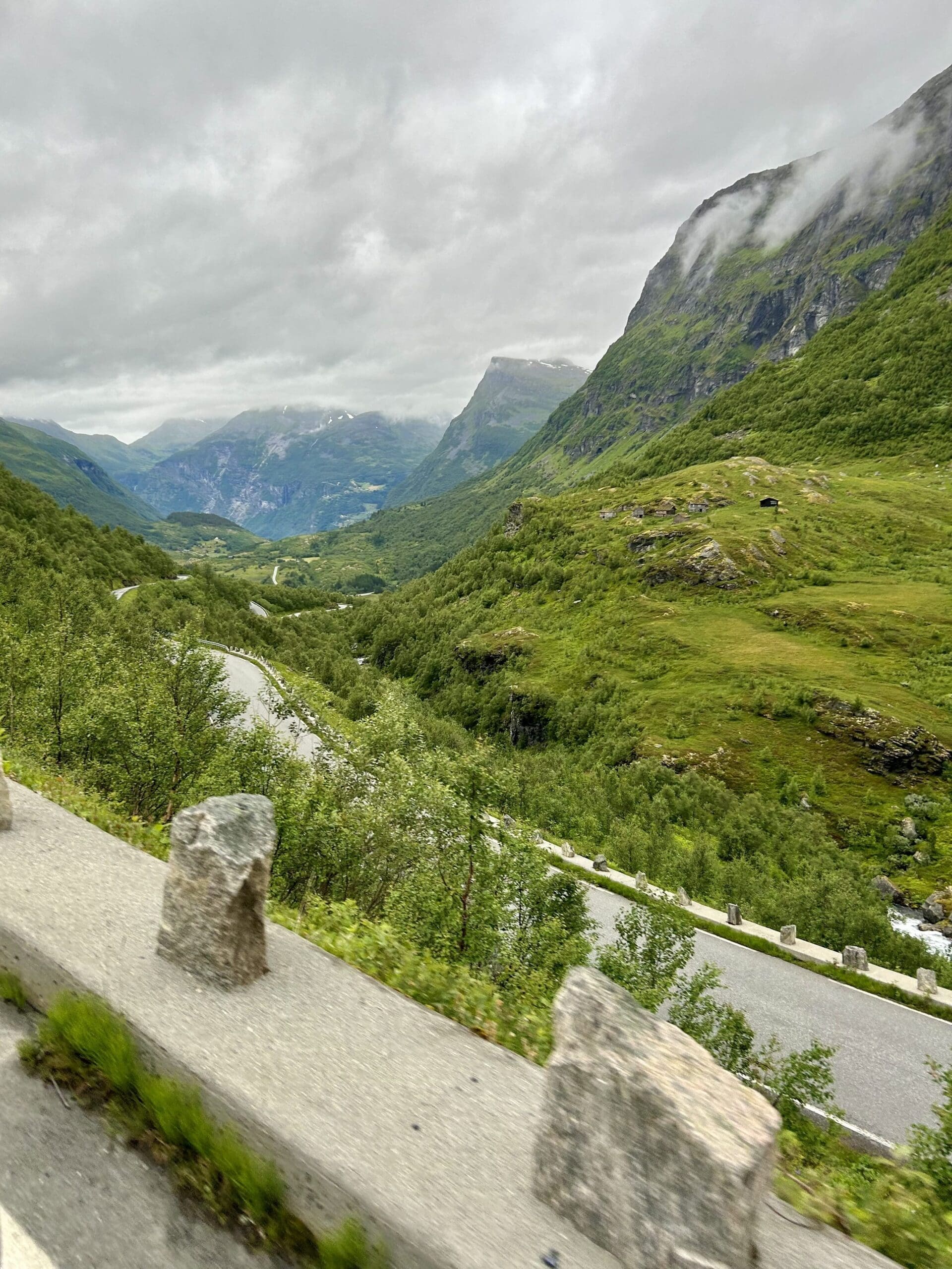
We left Geiranger early to avoid the worst of the traffic. This turned out to be a good decision as many of the roads are terribly narrow and really not made for meetings. You struggle up the many serpentine roads that are nailed to the mountainside. In some cases it looks a bit funny as it seems that the vehicles further up the mountain have tired of the roads and instead drive out in the terrain. We had heard a lot about the roads around Trollstigen but I would say that they are much wider and more suitable for tourist buses and Sunday bikers.
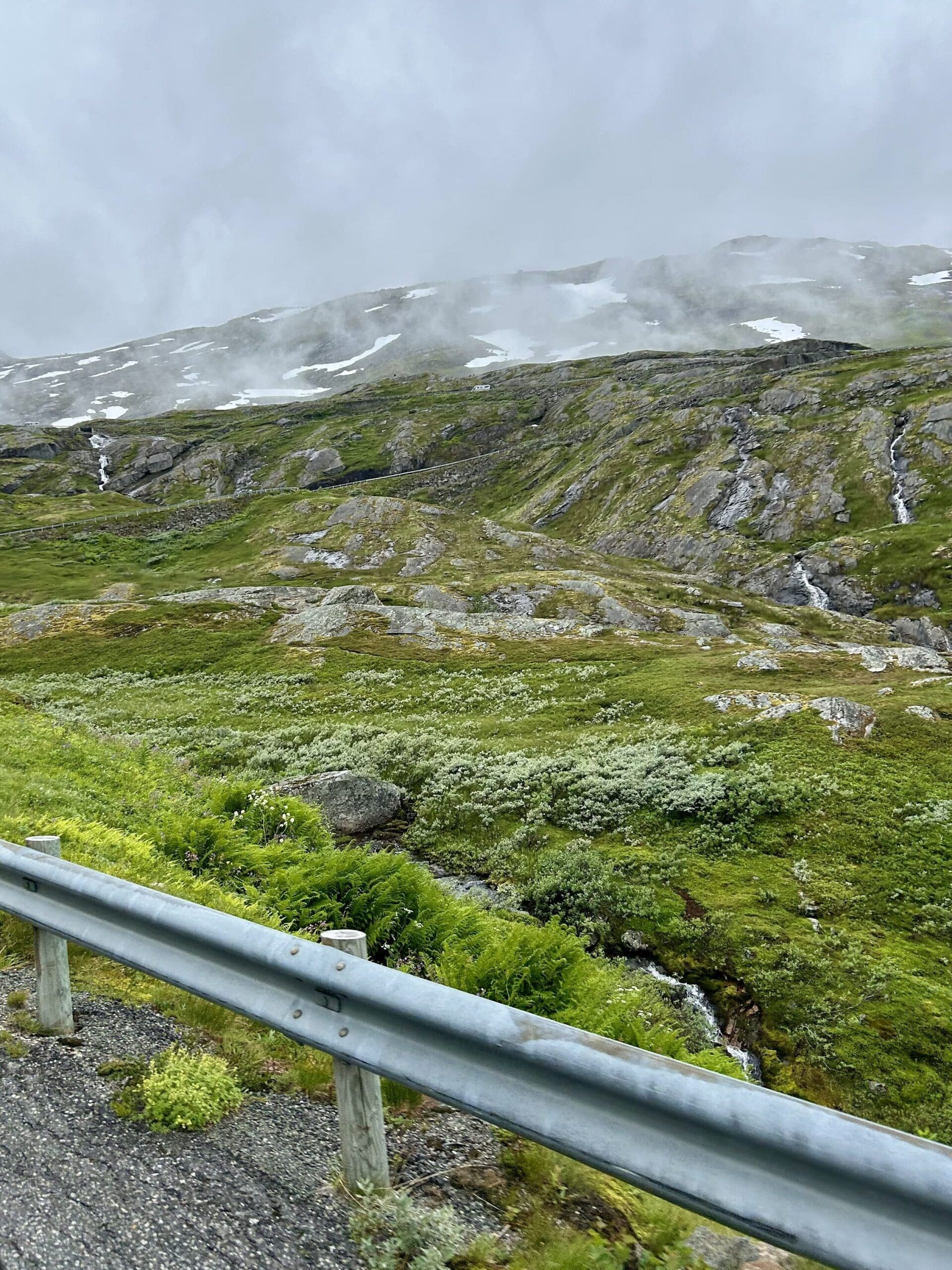
Up, down, up, down, serpentine right, serpentine left and a whole lot of road types that I can't even find words for. Yes, sometimes it almost felt like the curve was so sharp that you met your own backside. At first the landscape is green and lush but the further up you go the more barren the environment becomes. There are also a lot of lakes and other waterways which further enhances the nature experience.
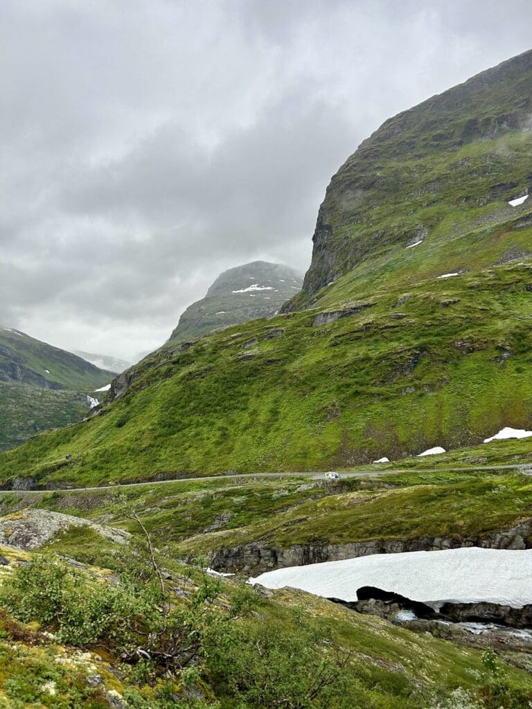
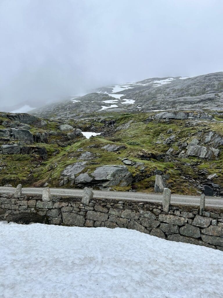
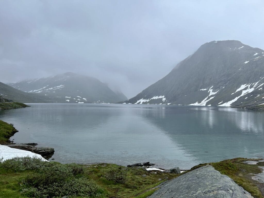
Sognefjell is sandwiched between two large national parks, Jotunheimen and Breheimen. The former provides a truly dramatic backdrop as the area is home to the 23 highest peaks in Norway. From the road we travelled, RV55, you can see Galdøpiggen, which is Norway's highest mountain.
Between Geiranger and Krossbu you pass a number of viewpoints, including Dalsnibba, but as it was quite foggy, we chose to get to the destination as quickly as possible.
We had discussed a lot whether we should free camp or find a campsite but considering the weather, it was probably lucky that we finally decided on a campsite. The choice fell on Krossbu Turisthytte, which is a slightly special place as the hotel is located at an altitude of 1300 metres and is surrounded by peaks of over 2000 metres. The location together with the barren landscape makes it an incredibly beautiful place. I'll let you decide whether you prefer sun or clouds, but I think the dark clouds create some exciting drama in the picture.
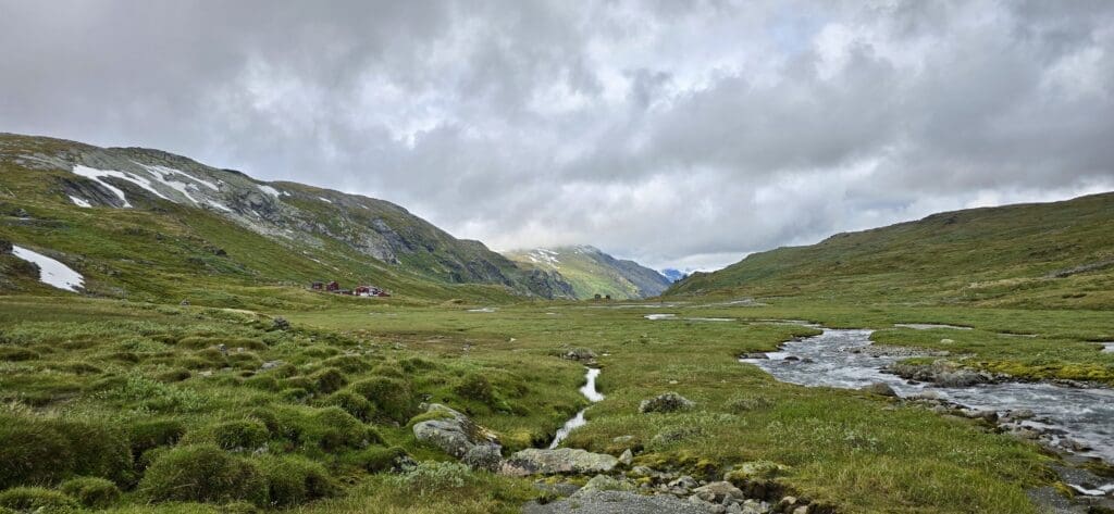
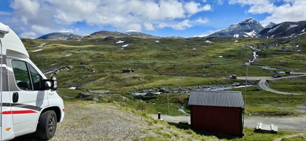
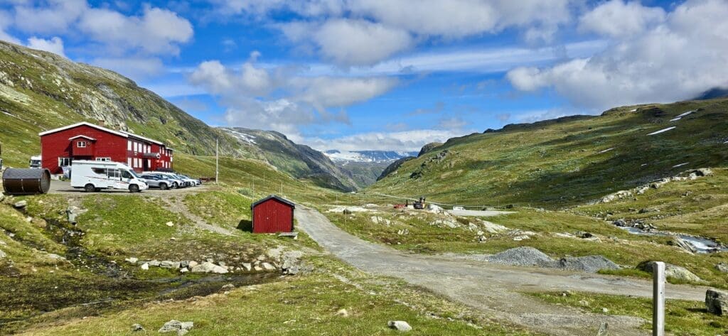
In addition to the caravan park at the hotel, there is a small camping area without electricity, but not many people chose to spend the night there as it was windy and raining heavily. You can read more about the caravan park itself here.
We saw some poor souls who for some unfathomable reason chose to move the tent when it rained the most and there can't have been much that was dry after that decision. In addition to the rain, it was only one degree during the night which meant that many of the tents took into the hotel. In any case, we were very happy that we left the tent at home as it is quite cosy to sit in the motorhome when it is rainy outside.
The next day was sunny and nice, which gave us a better view of the surrounding peaks. When we for once had nice weather, we took the opportunity to take a hiking trip. The tour is called the nature trail and starts from the hotel. First you walk along a beautiful mountain stream in the valley and then you fight your way up the mountain to a cool glacier. Along the route there are also signs with information about the flora and fauna of the valley and also a lot about the glacier we were on our way to.
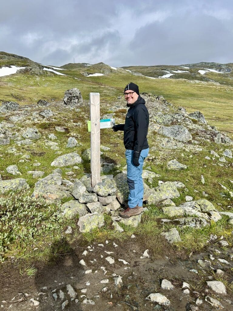
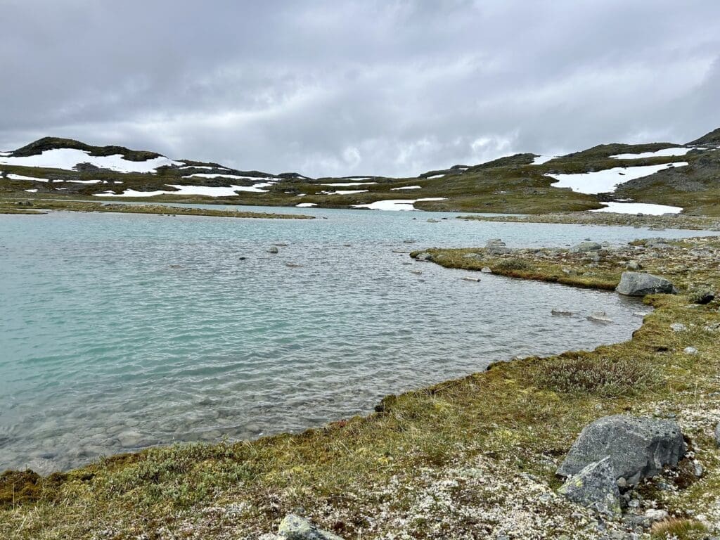

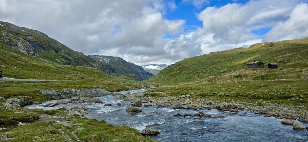

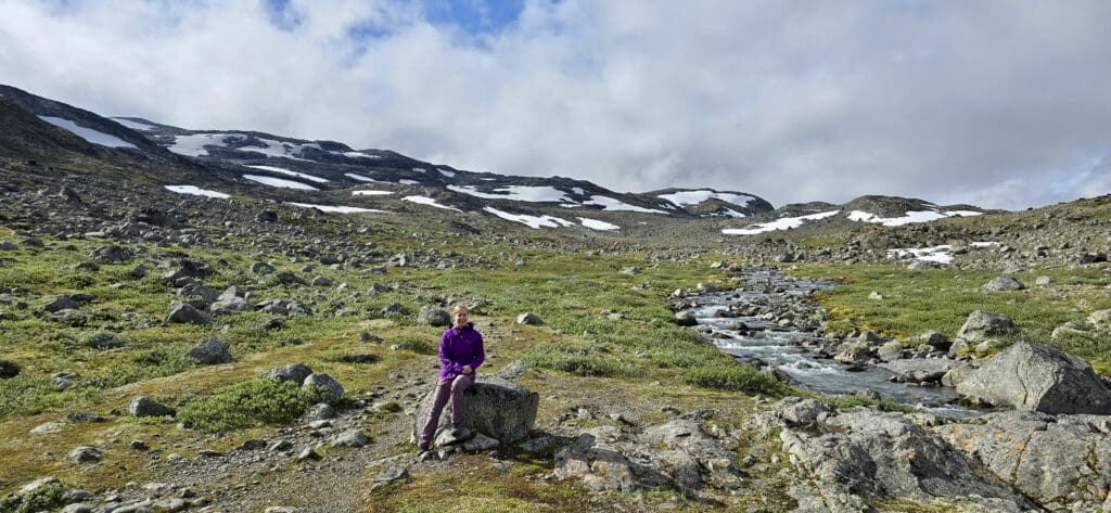
The glacier, Bøverbrean, is part of the Smørstabben which extends over 14.2km2 and although it has retreated over the last two hundred years, it is still Norway's largest. Not having the right equipment, we didn't venture out onto the glacier itself but for the more adventurous there are both guides and equipment in Krossbu Turisthytte. In addition to equipment, you can also get small badges as proof that you have managed to fight your way up the highest peaks in the area.
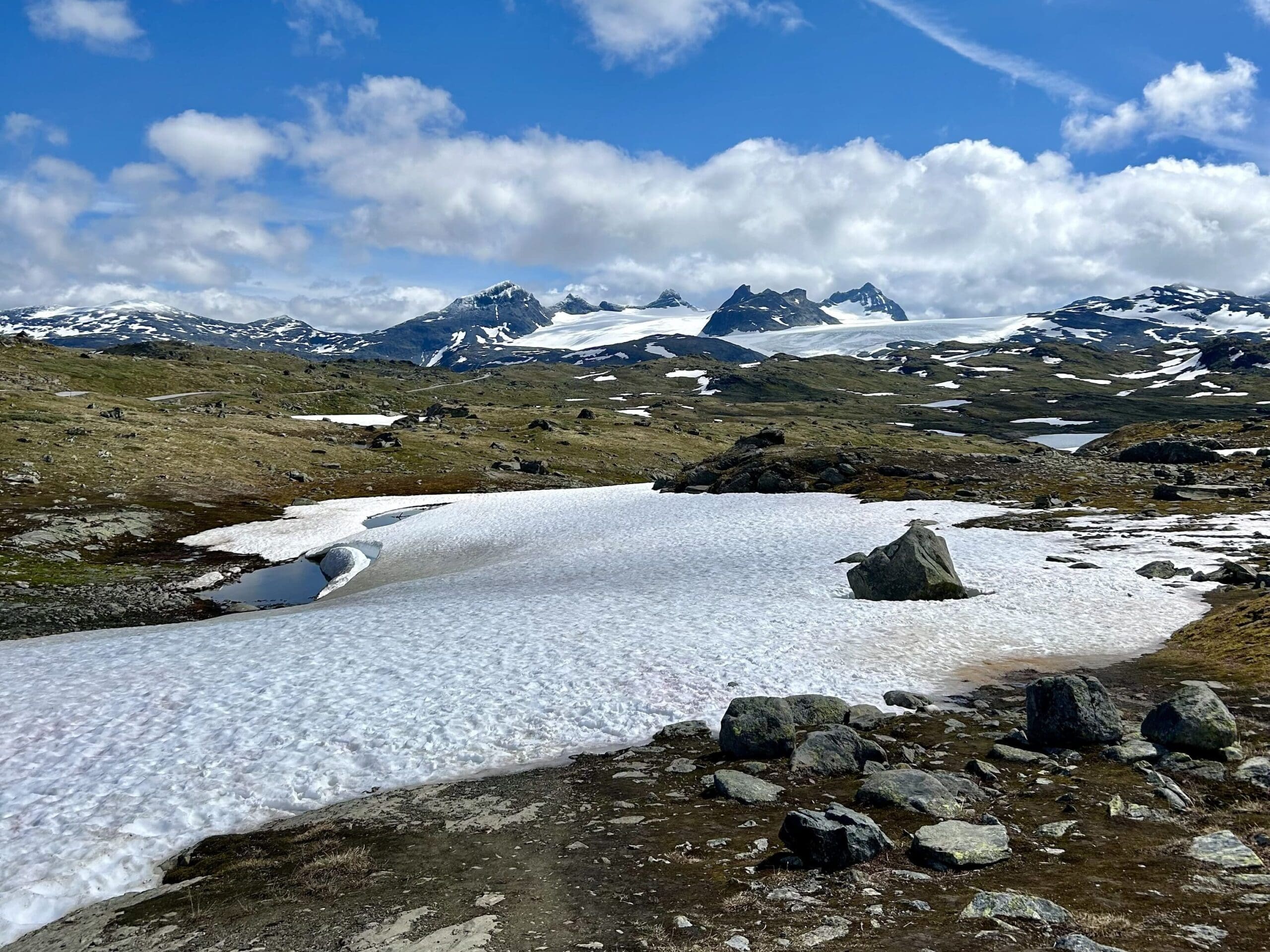

There are a couple of trails starting from the hotel, but when you get tired of them you can go to Sognefjellshytta, which has a large trail centre with a variety of trails.
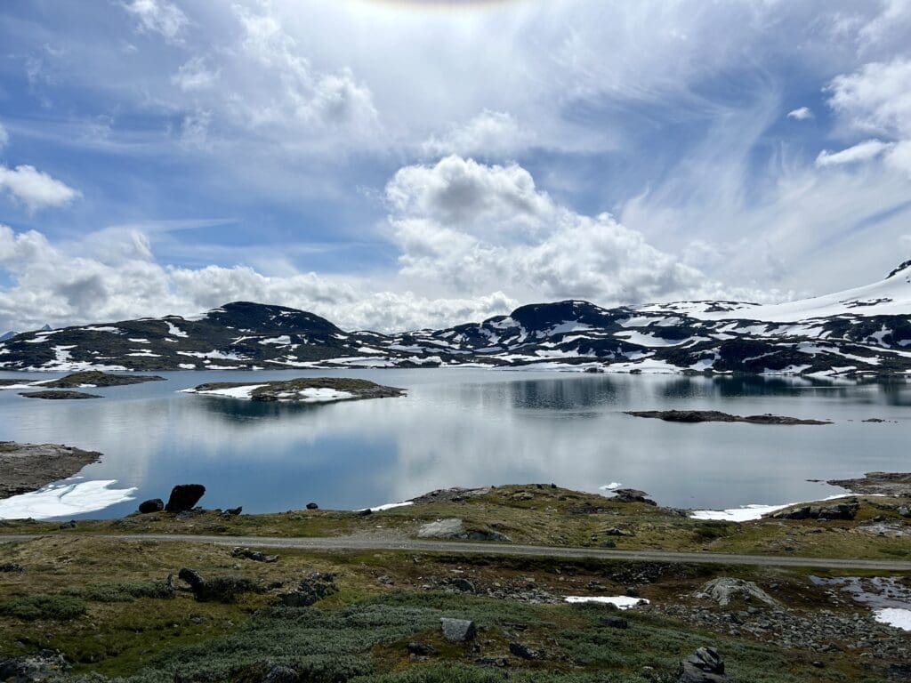
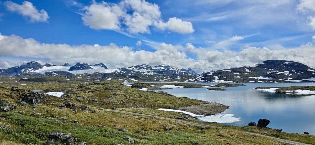
After Krossbu we continued up the mountain along the RV55. It really is crazy beautiful up at the top of Sognefjell. To put it in perspective, it took us almost an hour to drive five kilometres as we had to stop to enjoy the views.
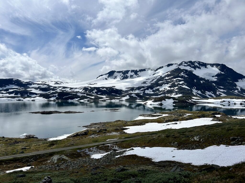
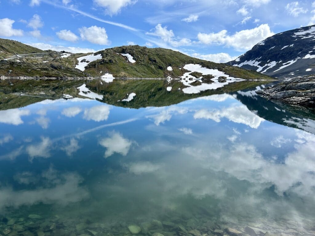
After the marvellous experience up in the mountains, I headed back down. It was a shame to leave the beautiful nature but at the same time my nerves needed some wide roads again. Here too there is beautiful nature but after a few days in Norway you almost get a little blasé and it was only when we checked the pictures that we realised that maybe we should have stayed here too.
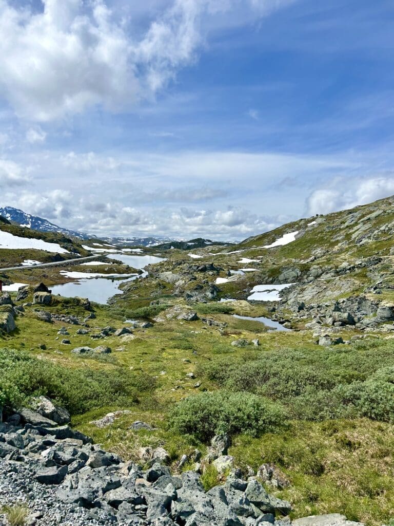
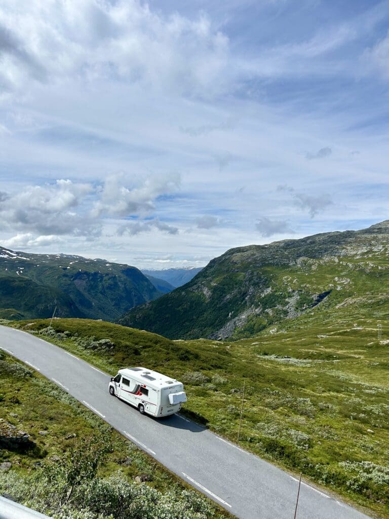
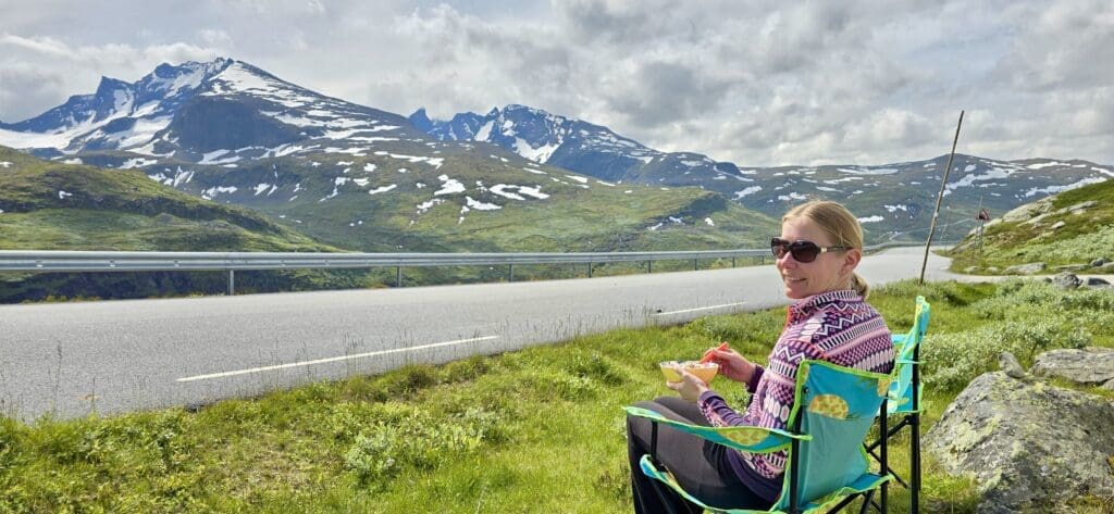
We did make a stop, however, and I don't think I've ever tasted so good with muesli as with this view. That probably sums up our experience quite well. This was truly a cavalcade of beautiful views that without making a fuss really impressed us.
